
GIS teams spend hours manually tracing field boundaries parcel by parcel. The SAM GeoTIFF service built in AI-Builder compresses that into a few clicks, letting your team segment fields directly on the map and export ready-to-use results from a single application.
Challenge
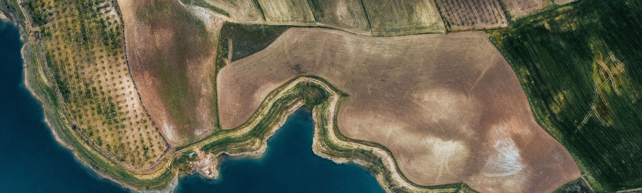
Agricultural agencies, cooperatives, and insurers need accurate field boundaries for subsidy checks, crop monitoring, irrigation planning, and insurance assessment. Today these boundaries are often digitised manually in GIS software, a slow, repetitive, and labour-intensive process.
Applying modern AI segmentation to Earth Observation imagery typically requires specialized machine learning expertise and infrastructure, making it difficult for many organizations to adopt state-of-the-art techniques tailored to their own needs.
The SAM GeoTIFF service in AI-Builder enables users to segment objects of interest in georeferenced satellite and drone imagery through an interactive, no-code interface.
Users upload a GeoTIFF or draw a region of interest directly on the map, add simple prompts such as points or bounding boxes, and generate segmentation masks that outline individual fields or parcels.
The results can be reviewed as an overlay on the map and exported in a single click, bringing state-of-the-art Earth Observation capabilities to users across a wide range of domains.
Map Boundaries in Clicks
Replace slow manual tracing with interactive prompts that segment fields and parcels in moments.
Work Directly on the Map
Upload a GeoTIFF or draw a region of interest on the map and see segmentation results overlaid instantly.
Improve Accuracy
Use state-of-the-art segmentation as an alternative or complement to traditional methods, with the potential to be even more accurate than manual digitisation.
No Machine Learning Expertise Required
Access advanced Earth Observation AI through a guided interface, with no model training or specialized infrastructure to manage.
Export Ready-to-Use Results
Download segmentation outputs in a single click for use in GIS, monitoring, planning, or assessment workflows.