Clearer Forest Boundaries, Backed by Satellite Data
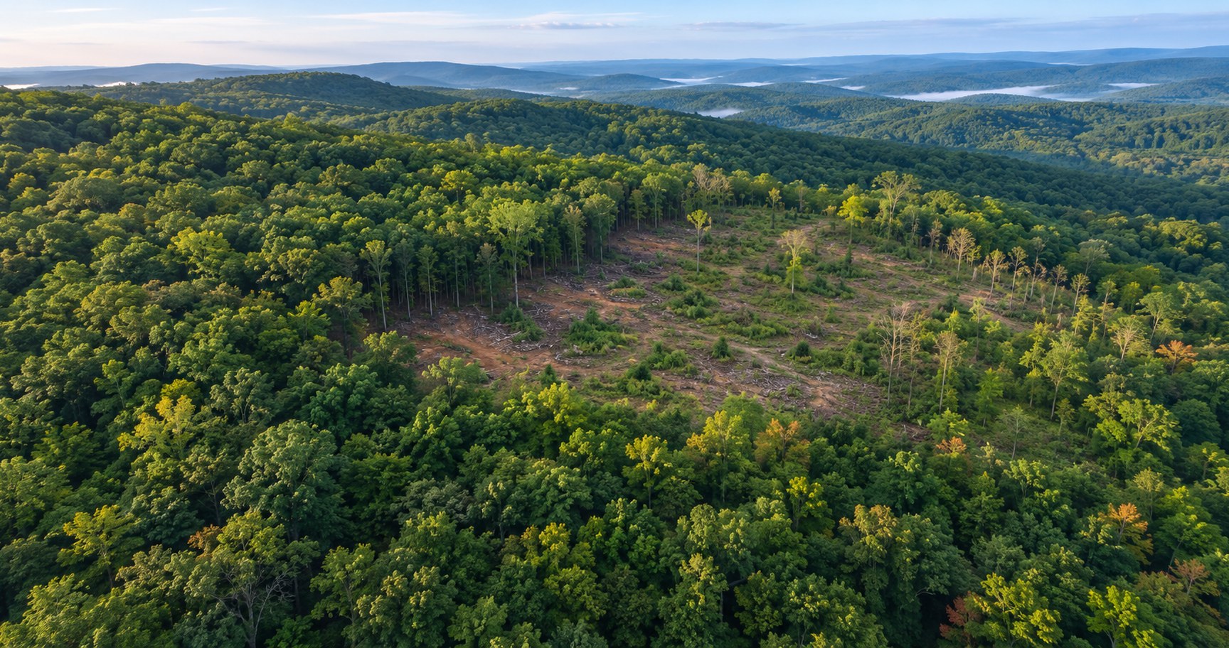
Policy-makers, municipalities, and public authorities need a reliable way to detect degradation across large protected or commercial forest areas. The LAI estimation service in AI-Builder-Suite turns Sentinel-2 imagery into a clear, comparable view of forest conditions, giving decision-makers solid evidence for boundary-level calls instead of relying on visual comparison alone.
Challenge
A policy-maker needs to detect degradation across large protected or commercial forest areas. Today, this is often done by visually comparing satellite images and field reports, which is slow and can lead to inaccurate estimation of forest boundaries.
Solution
The LAI estimation service in AI-Builder-Suite lets users upload Sentinel-2 GeoTIFF images for their area of interest. The model generates a map showing the leaf area index, enabling a more targeted view of forest conditions.
Users can compare the current LAI layer with previous dates or a seasonal baseline to identify areas where forest cover has decreased.
Instead of manually inspecting satellite imagery where forest limits aren’t always clear, users receive an AI-generated LAI layer that provides clearer visualization and stronger evidence for boundary-level decisions, giving policy-makers, municipalities, and other authorities an Earth Observation tool tailored to their needs.
Benefits
Detect Degradation Across Large Areas
Monitor protected or commercial forest areas at scale, rather than relying on scattered field reports.
Compare Conditions Over Time
Set the current LAI layer against previous dates or a seasonal baseline to spot where forest cover has decreased.
See Clearer Forest Boundaries
Replace visual guesswork on satellite imagery with an AI-generated layer that makes forest limits easier to identify.
Strengthen Boundary-Level Decisions
Back up policy and land-use calls with consistent, comparable evidence rather than subjective interpretation.
Validate and Monitor Continuously
Use the LAI layer as an ongoing tool to validate forest edges and track change over time.