From Pixel-by-Pixel Tracing to a Few Clicks
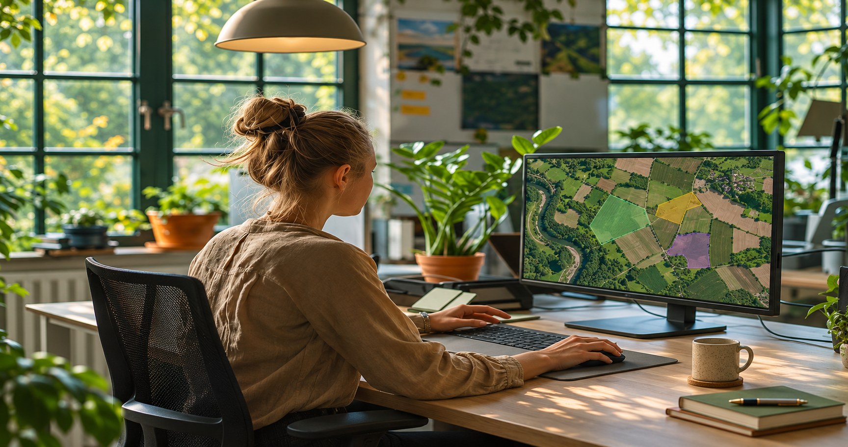
Land cover, agriculture, flood, burned area, and infrastructure mapping models are only as good as the segmentation data behind them. Producing that data usually calls for GIS expertise and painstaking attention across every tile of a large image. The SAM GeoTIFF service in AI-Builder-Suite puts that capability directly in your team’s hands, turning raw satellite imagery into reviewed, export-ready training data through a guided, interactive workflow.
Challenge
Earth observation teams often need labelled segmentation datasets to train models for land cover, agriculture, floods, burned areas, or infrastructure mapping. Creating these labelled masks is one of the slowest and most expensive parts of model development.
Traditionally, this meant manually drawing segmentation masks in GIS or annotation tools, a process that is slow and repetitive, especially across large GeoTIFF images.
Solution
The SAM GeoTIFF service in AI-Builder-Suite lets users upload GeoTIFF imagery and interactively generate masks for target objects or land-cover classes. Instead of manually tracing every object, the user provides a few interactive prompts and the model generates the mask automatically. The expert then reviews and adjusts the result rather than creating it from scratch. Masks can be reviewed, corrected, and exported directly as labelled training data for downstream AI models, making label creation more consistent and easier to scale.
Benefits
Generate Masks Interactively
Create segmentation masks with a few prompts instead of tracing objects manually, pixel by pixel.
Improve Label Consistency
Rely on model-generated masks reviewed and adjusted by experts, reducing the variability of fully manual annotation.
Scale Dataset Creation
Move from a slow, repetitive process to one that scales across large GeoTIFF images and multiple land-cover classes.
Export Ready-to-Use Training Data
Turn reviewed masks directly into labelled datasets for downstream AI model development.
See Results Immediately
View generated masks as an overlay on the satellite image as soon as they’re created, making quality easy to check on the spot.